Friday, April 22, 2016

Vivian Creek to Halfway Camp

Hiking date: April 22, 2016
Location: San Gorgonio, CA
Rate: hard  

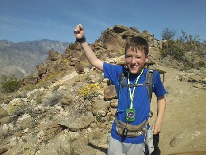
This was our first hike in the San Gorgonio mountains and our second mountain hike. Unfortunately, mom had strep throat. So we canceled a Mecca trip and the other two hardhikers did some thinking. They decided to hike Vivian Creek, a short way up to the summit of San Gorgonio mountain. After all, we did have some Vivian permits.

Anyway, on with the hike! P.S. I learned how to make really cool captions!

                                It all started with meeting a forest ranger named Ranger Dave

Ranger Dave
His 50 pound backpack


Hiking up the trail

A hole in a tree


Confident Cameron


Several breaks were taken on the hike 


Our stopping point, Halfway Camp

 Another encounter with Ranger Dave


A permit is required beyond this point

Wednesday, March 23, 2016

Whitewater

Hiking date: March 23, 2016
Location: Whitewater CA
Rate: easy

Before we get started, I would like to tell you a few things.

  1. We didn't exactly hike, we just hung out
  2. I am going to do a post like the posts on Hikin' Jim's blog. I will make pictures as large as possible
It all started when we arrived, our first destination was the PCT sign ( a picture for a project)


Next, we went off to the Whitewater river.


Last, we went to a small pond.


Saturday, March 19, 2016

Murray Hill (west flank)

Hiking date: March 19 2016
Location: Palm springs CA
Rate: hard

Now that we have hiked both the east and west side of Murray hill, us Hardhikers (me, Mom and Papa's hiking group name) can call ourselves Murray champs. You start off by hiking Murray Hill (training), First, you hike to a peak that we call "Murray Junior". From there, walk past a pretty  landscape of purple, yellow, and pink flowers. Then, go up the ridge, cross to the other side, and see Murray hill. It looks scary, but it isn't that bad, and you reach the top still. It was pretty and hot.


Sunday, February 28, 2016

Plunge Creek- alternate route

Hiking date: February 27 2016
Location: Yucaipa CA
Rate: normal

Today's hike was a little different than usual. We hiked with some friends of my dads on another route of the Plunge Creek Truck trail (see Plunge Creek Truck trail). You start out in a neighbor- hood. Take the trail on the left and follow it. There will be a lot of junctions, but go left on all of them. Soon, reach a bike rally and go into the valley. As you make your way up. There will be a few steep parts. Then loop back around to your car. It was fun to do a hike with friends. It was VERY smoggy which meant it was hot. We were sweating to death! I wish I would have brought my water mister.

Here is a map of what we hiked


Picture update


I have decided to improve the pictures on my blog. You may have noticed that the pictures seem a bit larger. Also, starting now, I am going to start posting more pictures than usual. Hope you like it!

Saturday, February 20, 2016

Ladder Canyon

Hiking date: February 20 2016
Location: Mecca Hills CA
Rate: normal

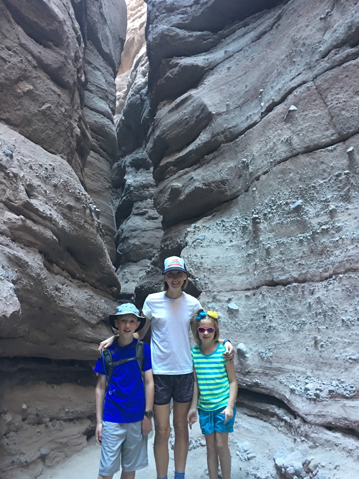
What a hike! Today, we went far out, past Indio, into the chocolate mountains near Mecca to hike Ladder Canyon. Try to go on a weekend when it is crowded because robbers could break open windows to steal, even if there is nothing in there. You start out walking on a wide dirt road. Notice the huge granite rocks that surround you. Look for the trail marker and go left. It is a little like the Museum trail, only a lot more rocks. Soon, you will reach three ladders, the second being a little scary for kids. Then, go through a crevice in the canyon and reach a another ladder. Then hike up to the top of the ridge. It was defiantly a favorite. These pictures are so cool that I have to make them bigger

One of the many narrow parts of the trail:


Climbing a ladder:


Ooh I can't help doing more pictures!


Saturday, February 13, 2016

Crafton hills

Hiking date:  February 7 2016
Location:  Yucaipa CA
 Rate:  Normal
For this hike, we thought we should do a moderate hike. Considering Kelly’s  back and  since John just got back from a missionary trip in Florida for a week. We hiked from the soccer fields  in Yucaipa to Zanja Peak, the high point of Crafton Hills.  You start out at the soccer fields in Yucaipa.  Then hike up some foothills and go by some private property. Next, start hiking up the ridge and turn right. Go over a bunch of foothills, one having  a 45° degree slope. Finally, we reached Zanja peak, noticing a Frisbee shaped mark of the summit. Remember to come down the way you came, only take the left path as soon as you see it. At one point you will reach the private property that you passed on the way up. We thought it was fun to reach another summit.

one of the many bumps on the trail:


enjoying the time:


So far, my hiking career has been great. I will never stop hiking!