Monday, July 4, 2016

Two days in the Yosemite National Park

You are probably wondering why we went two days to Yosemite National Park.  On one of the days we were on vacation we were wondering what to do (we stayed at Bass Lake for four nights). So why not go again! People come from all over the world to just look here once. We got to go two times in three days since it was only an hour and a half away from us!!!

We hiked two hikes that were both waterfall hikes, here they are:

1. Lower Yosemite Fall
Hiking date: July 25, 2016
Location: Yosemite Valley, CA
Difficulty: easy
Distance: one mile
Minutes hiked: 30 minutes

When we entered Yosemite, we could see a lot . Here is the stats of the trip.

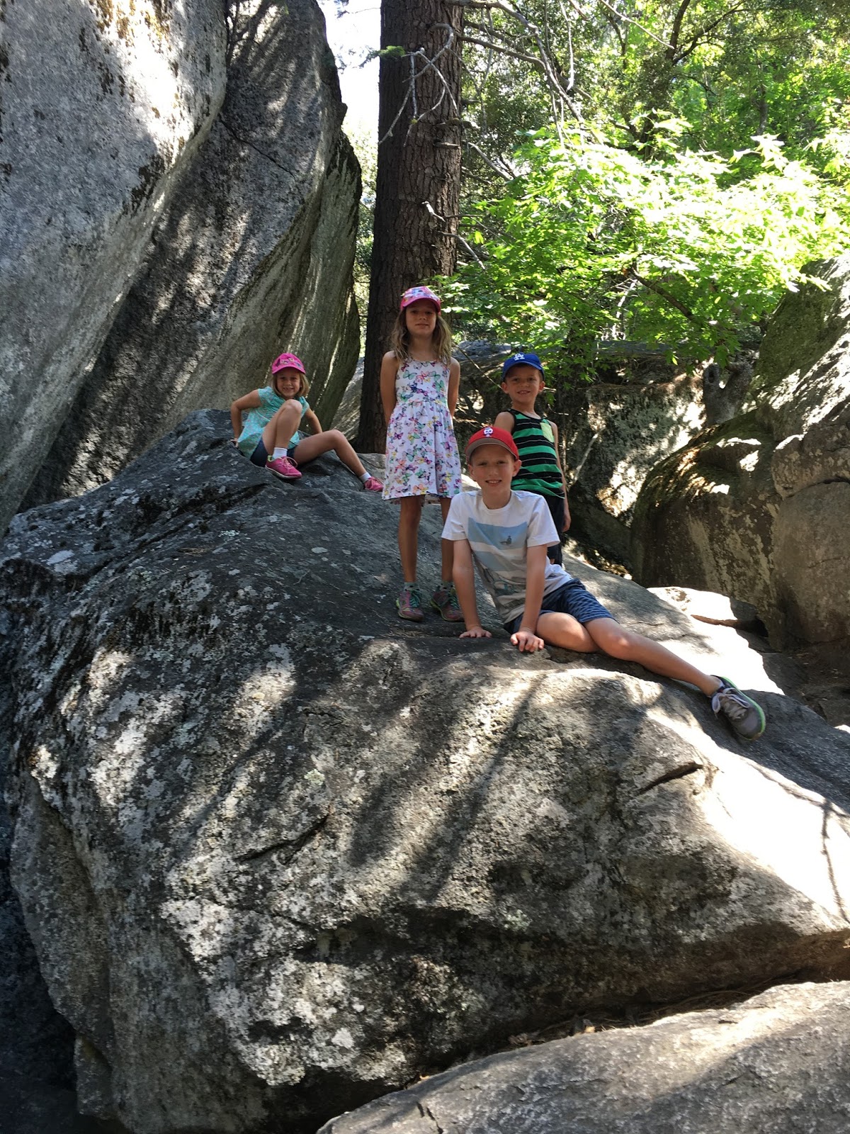
Olivia age 3, Daniel age 6, Mia age 8, me age 9, and Kendall age 7.
(left to right)  
Aua, Jeremy Elkins and mom and dad 

It was crowded when we got there, which proves it is just an easy walk. But it was the biggest waterfall in the U.S, so were ready for that. We also went exploring through a bunch of rocks.

3 minutes later, we got to the waterfall. We saw people climbing up close to the waterfall. so we left the crowds behind and climbed. Only when we got back did we realize that we weren't allowed to climb around.

Almost there!

Then we started the 8 minute trek down the road.


Here is a quick video so you can see what the walk is like. It wiped us out!


Hike two: Bridalveil Fall 
Hiking date: July 27, 2016
Location: Yosemite Valley, CA
Difficulty: easy
Distance: 0.5 easy way, 4.2 longer way
Minutes hiked: 30 minutes easy way, 45 longer way

Bridalveil Fall is a lot like Yosemite Fall, only shorter 
Bridalveil   Fall 

Daniel wanted to hike to the "El Capitan Bridge"


El Capitan  
At one point, we left the main attraction and moved on to a real trail. Since Daniel really wanted to hike the bridge, we split up. The girls left, leaving Daniel, Mr. Jeremy, my dad, and obviously me. We didn't run into anything for a long time until we reached a junction that led to different places like campgrounds and Half Dome. When we got back, we were rewarded with a cool car and the Merced river to swim in. 


The week was a sucuss! Aside with being carsick while driving, the trip, I say, was a 10!

Saturday, June 11, 2016

Vivian Creek to High Camp

Hiking date: June 11, 2016
Location: San Gorgino wilderness, CA
Difficulty: hard
Distance: 13 miles
Hours hiked: 7 1/2 

What a day! Today, we hiked the Vivian Creek trail up to High Creek camp at about 9000 feet. This is the highest elevation I have ever been to. My mom got her ultimate record of steps in one day, over 30,000!! We got to help out a mom and her son who were trying to go to Big Falls, and a lot more!

When we got to Forest Falls, we got our gear and jackets on (although we lost the jackets in 10 minutes) and walked up the road that led to the river bed


The beginning of the long journey ahead 

Next, we crossed the river bed and hiked the tough switchbacks for a mile until we reached the permit point.

The hardest part of the entire hike, the switchbacks


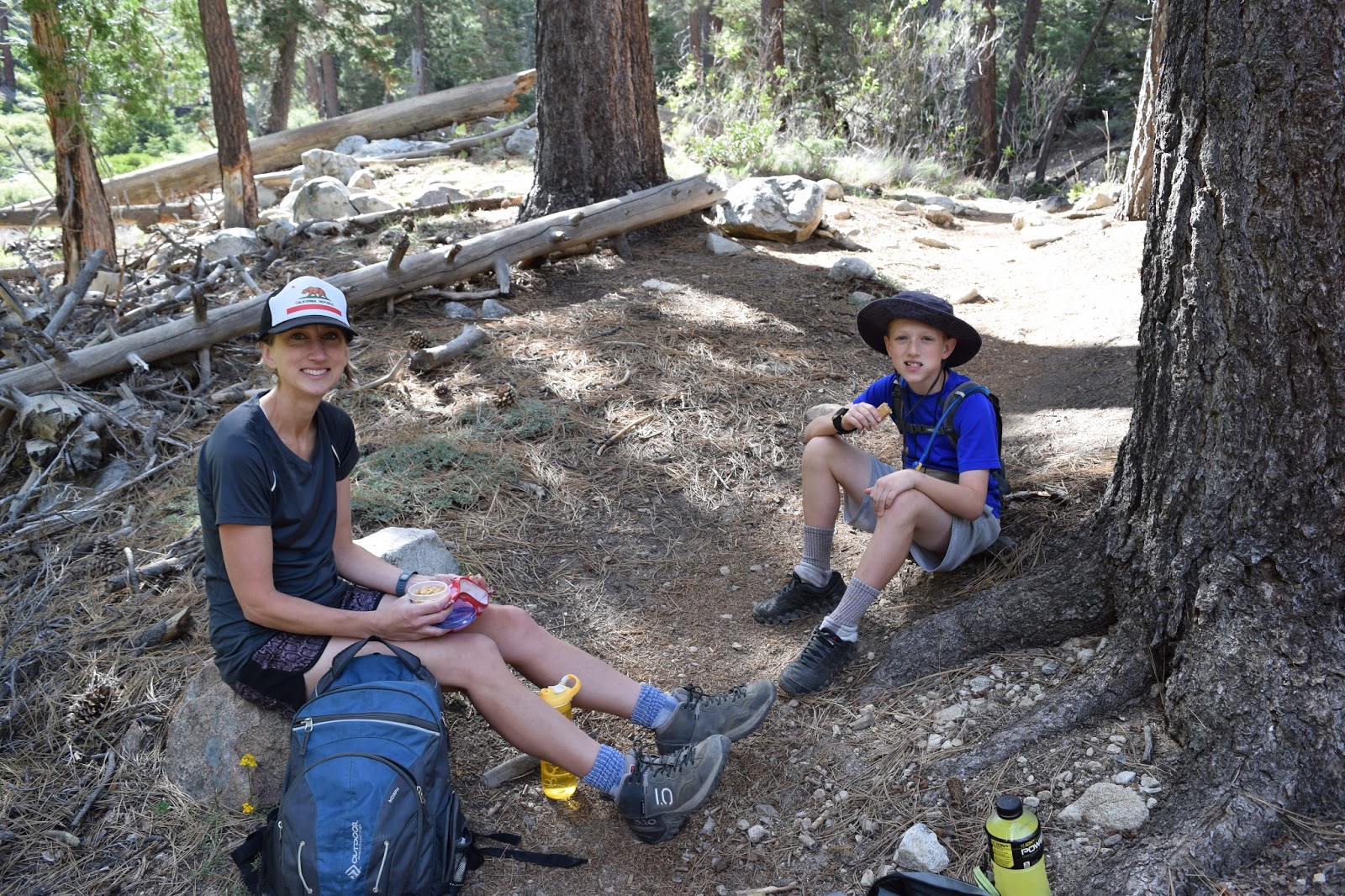
On the way up, we took several breaks to catch our breath and get food and water.


1.6 miles after the permit point, we reached Halfway 
Camp at about 9:30 

The junction between Halfway camp and the trail leading to High Camp 

2 hour and 2.5 miles later, we reached High Camp

High Creek Camp


We had only made it halfway. We had to go from High Camp to Halfway Camp, Halfway Camp to Permit Point, Permit Point to the river bed, and the river bed to the car. It had been a long day.


Favorite hiking pictures

I know this is kind of random, but I thought I could post some favorite hiking pictures, I like mine so muck that I have it as my google profile picture. Here they are:

Papas


Moms and mine


Sunday, May 22, 2016

An Adventurous day on the Hopalong Cassidy trail

Hiking date: May 21, 2016
Location: Palm Springs, CA
Rate: normal/hard

What a day! Today, we hiked two portions of the Hopalong Cassidy trail. Here they are.

Hike one: The object trail

This portion of the trail wasn't very long, there were a lot of things to see. This part of the trail is one of the very few trails that allow dogs, so there were a lot of dogs. On with the trail!

As we headed up, we passed a shaded picnic area and a sign honoring someone.


Soon after, we reached a cross.

The cross


Sign in front of cross


One of the beautiful rock formations 

Then we went back and took another trail for a more strenuous hike. The trail started out steep and led us to a private property sign. Fortunately, the trail led in another direction, but it led us BACK to the cross and we were back to square one.  

The "Fence Trail"

So we took another route down, which we hoped would lead to the Hopalong Cassidy Trail. 

As we hiked, we passed a big pad that had a picture of a Ying-Yang on it.


We were heading back to the civilization, so we gave up and got in the car.
But It wasn't even 10:00 yet, so we went on a another hike

Hike two: The Bump and Grind loop
This was our second hike of the day. We went to Starbucks to go to the bathroom and we were off. It started off on a trail going the opposite way of the Bump and Grind trail, as we went along, I fell down and hurt my knee.

Bloody knee, neat

Then, we came to these steep switchbacks that my mom points out to me all the time.

The switchbacks

Next, we saw these amazing lizards!!


Then, we hiked down the Bump and Grind trail to our car. Then with a cinnamon roll from Starbucks and a stop at Carls Jr. (our new stopping place after a desert hike) the day was done!


Sunday, May 15, 2016

The schoolhouse path

Hiking date: May 12, 2016
Location: Oak Glen CA
Rate: easy>this trail

This hike is so easy and so short that I would not even consider this a trail, more like a path. We were stopping at a park after school to have a picnic lunch and play. So obviously I HAD to follow the path since hiking is now my favorite thing to do. There were several signs indicting interesting trees and plants. Here are a few pictures of the signs (by the way I shaved myself bald due to the summer heat. My hair will be like that for the rest of the summer).
A Canyon Oak
A rock sign marking someone important
A Mugworth plant
Box Elder grass
Verbe Santa at the end of the trail
A Black Oak

Friday, April 22, 2016

Vivian Creek to Halfway Camp

Hiking date: April 22, 2016
Location: San Gorgonio, CA
Rate: hard  

This was our first hike in the San Gorgonio mountains and our second mountain hike. Unfortunately, mom had strep throat. So we canceled a Mecca trip and the other two hardhikers did some thinking. They decided to hike Vivian Creek, a short way up to the summit of San Gorgonio mountain. After all, we did have some Vivian permits.

Anyway, on with the hike! P.S. I learned how to make really cool captions!

                                It all started with meeting a forest ranger named Ranger Dave

Ranger Dave
His 50 pound backpack


Hiking up the trail

A hole in a tree


Confident Cameron


Several breaks were taken on the hike 


Our stopping point, Halfway Camp

 Another encounter with Ranger Dave


A permit is required beyond this point