Monday, December 21, 2015

Wildwood #4

Hiking date: December 20 2015
Location: Yucaipa CA 
Rate: hard

After all these times hiking Wildwood, we finally finished it! It took about 4 hours for us to do the hike. We were actually going to do Skyline again and get to the first rescue box, but my mom wasn't feeling the best, so we did this instead. You start in the parking lot, and go north on the dirt road. Do NOT go on any trails that veer off in any other direction because that will take you on the easy loop, (see Wildwood, just the name). Keep going north and reach a big farm. Unfortunately, the farm was boarded up but I think that it would be beautiful if it was still in use. Go up, see a town below, and see another building. Then, start ascending the first half of the loop and Pisca Peak. Keep climbing the ridge and see two wooden markings. If you see them, that means you are on the right track. Eventually, you reach a gate that leads to Pisca Peak. If you want to complete the loop, turn right. Go south and see a radio tower and some dirt paths below you. At this point, you are heading over to the opposite side of the ridge. Hike for about five minutes and then start descending Wildwood #1 ( it's on the blog) to reach your car. It was long but fun to complete the hike.

Huge chunks of ice!


On the north side of the ridge:

Monday, December 14, 2015

Wildwood

Hiking date: all the time
Location: Yucaipa  CA
Rate: easy


This is one of those hikes that we can do anytime. But today I am going to tell you about the time that we have done this trail recently. You start at the parking lot, and go down to some benches. Keep going and the trail splits into two parts. Turn right and go up the path. Make a right (just so you know, this part may be steep for some people) and go out into the sunlight. Keep going and run into another junction. You can either go through a shortcut, or you can continue. Keep going until you reach a picnic table. Turn left and run into a house. Then keep going and turn left into some brush. Go out into a field. Then make a bend, go down, and see a dirt road that will lead you to your car. There are so many trails but it is fun.

On the way down:


The bench:


Tuesday, December 8, 2015

South Lykken

Hiking date: January 6 2015
Location: Palm Springs CA
Rate: Normal

 This is the hike that got me going with the hiking business. Today, we did a hike called South Lykken. The part that we went on was basically a bunch of switchbacks. You start at the southwest part of palm springs on highway 111. Go by some houses and start climbing. It may be a little challenging for some people who are not used to this type of thing, But you will get used to it in a bit. Make a bend and go up to some picnic tables. If you want to see more, search for, " South Lykken#2". It was fun and a good fit hike for us.

The parking lot


The benches


South Lykken #2

Hiking date: January 19 2015 
Location: Palm Springs CA 
Rate: Normal

We did South Lykken trail again only we went a little further. From the point we stopped on the first round of South Lykken, we went down the hill and the trail splits up into 2 parts. One trail goes higher, and the other goes down. The upper path goes on the side of the mountain. On the other trail, you can see a water tower and a bunch of little trails. Go down and you might see a rock pile. Then keep going, make a bend around a rock, and go down into a small neighborhood. Unfortunately, you are about a mile north from your car. It was fun and good.

On a rock:


On the side of a large mountain:

Friday, December 4, 2015

Museum trail/ Skyline

Hiking date: February 23 2015
Location: Palm Springs CA
Rate: Very hard

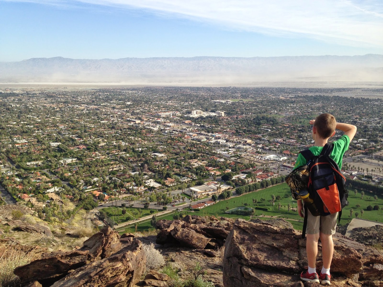
The Skyline trail is a trail that starts in Palm Springs and goes all the way up to the tramway with an elevation gain of about 8000 feet. This is the lower segment of the trail which is known as the Museum Trail. Start at a museum and go through the parking lot and you will see the trail. Do one switchback and cross a paved road and cross a another trail which is the real trail. It is very rocky and steep for the first part. Then the trail is easier to follow.  Follow the trail by finding white marks
 It was hard but fun.

Skyline trail:
 

Looking at the view:


Skyline #2

Hiking date: April 12 2015
Location: Palm Springs CA
Rate: very hard

We did Skyline again, only this time we went a another hour further. From the point we stopped on Skyline, ( just Skyline, no number or anything) go up a small hill. Next, go down and see a sign that says to stay on the heavily used trail. Turn right and remember that because if you don't, you will be going on the North Lykken Trail. If you go north, you should see a couple signs and keep going. Next, go southwest up a hill. It was fun to see what was beyond the benches. ( which is on Skyline, Just the name), but I really wanted to do the whole thing.

One point of the trail:

                                                                 
                                                                 Beyond the benches: 


Tuesday, December 1, 2015

Skyline #3

Hiking date: April 25 2015
Location: Palm Springs CA
Rate: Very hard

Skyline is here once more! We did the same thing as Skyline #2, only we went about a hour further. At the point we stopped on Skyline #2, go up some ways and see a valley. Then, go between some rocks and start doing some switchbacks. Go left and make a bend. We don't know what is beyond there, but you can click here to see the rest of the trail. It was hard but fun.

Me and Papa in front of a rock cove:


Our stopping point: