Hiking date: July 21, 2016
Location: San Gorgonio wilderness, CA
Difficultly: Hard
Distance: 17.8 miles
Hours hiked: 12
Goal: To reach San Gorgonio mountain
via Vivian Creek in one day
Goal completed: Yes
This hike was the longest and biggest hike that I have ever done in my entire life. Also, I hiked at a higher altitude than I have ever been at. What more? We also completed our biggest summit ever, the biggest one in southern California. Here is a list of summits we have hiked:
Pisca Peak (via Wildwood) 3000'
Zanja Peak (via Crafton Hills) 3000'
Murray Hill (via Clara Burgess and Wild Horse trails) 2000'
San Gorgonio Mountain (via Vivian Creek) 11,000'
I rounded the heights to the closest thousand and saw that San Gorgonio mountain was still the highest in Southern California. Murray Hill, Pisca Peak, and all the other small peaks are just tall peaks of their little ranges. San Gorgonio, on the other hand, towers above San Jacinto peak, Mt. Baldy, Torro Peak, and everything else in southern California.
For this hike, we had to leave at about 5:00am. We left the house and drove to the Mill Creek Ranger Station and got in the car with Papa. We drove up to Forest Falls and were on the trail at about 6:00am. We started hiking up the road leading to the riverbed, beginning our long journey. Before we got to the summit, we had to hike 8.9 miles of trail, passing 3 camps, Vivian Camp at 1.2 miles, Halfway camp at 2.1 miles. and High camp at 4.8 miles.

10 minutes later, we crossed the empty riverbed.
 |
| Crossing the riverbed, we had to be careful of flash floods ;) |
Then we started one of the hardest parts of the trail, a whole mile of switchbacks.

Soon after, the trail leveled out at the mile marker.
 |
| A resting log next to the mile marker. |

After the mile marker, we went through a beautiful forest of conifer pines, bushes, and more. A little ways before Halfway Camp we went through some beautiful bushes.


When we got to Halfway Camp, it wasn't even 8:15 yet, we were booking it!
 |
| The junction leading to Halfway camp and the trail leading to High Camp. For our snacks, we love Ritz with peanut butter. It's become our go to snack. |
From Halfway camp, we hiked up two sets of switchbacks, rounded a bend, and hiked down to High Camp.

Beyond High Camp it was another three hours until we would get to the summit, and it would be hard. For a lot of the time, we would be above 10,000', which was in the zone where you could get altitude sickness. But we would get good views of the San Jacinto mountains and the Yucaipa Ridge down below. We stopped at High Creek to soak a stiff towel in the water. It was passed around our necks to cool us

After High Camp, we hiked up several switchbacks to lookout point where the San Jacinto mountains and the desert came into the view

After that, we started crossing a C shape across the ridge. It was hard!


Then, we came out of the bend and we saw the summit about five minutes away. So slowly, we climbed on top of the summit. We were rewarded with views, cell reception, ham sandwiches, and the sense of satisfaction of being at the top of everything in Southern California. The summit was windy and cold. The big thing was chipmunks, they were EVERYWHERE on the summit, crawling around and eating Pita chips Papa threw on the ground for them. They were cool to have around. We could see for miles, the Mohave desert, Big Bear Lake, and more. But we were only halfway, because we had to go down!!
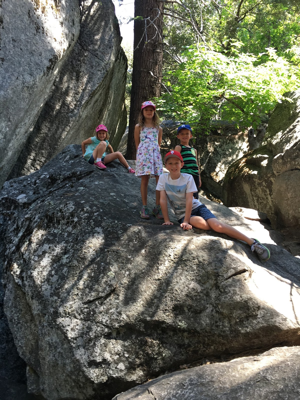
 |
| San Goronigo Mountain |